 |
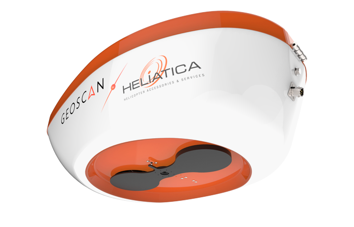
Onboard Automatic Photosystem for Manned Aircrafts
System for aerial imaging from manned aircrafts with simultanious geotagging for further photogrammetric processing and georeferencing.
Part number:
Supplier:
Group of companies "Geoscan"Description
APMA performs survey according to specified flight path, altitude, speed of the aircraft and parameters of image overlap.
Fully automatic workflow. No operator action required.
When the aircraft reaches the starting point, APMA will automatically take pictures at a given rate.
Operator can turn auto imaging on and off if necessary
You can take pictures manually as well
APMA records center coordinates of each image
Each image footprint is instantly displayed on a map
When the survey is over, a special georeferencing file with all image centers coordinates is generated