Products
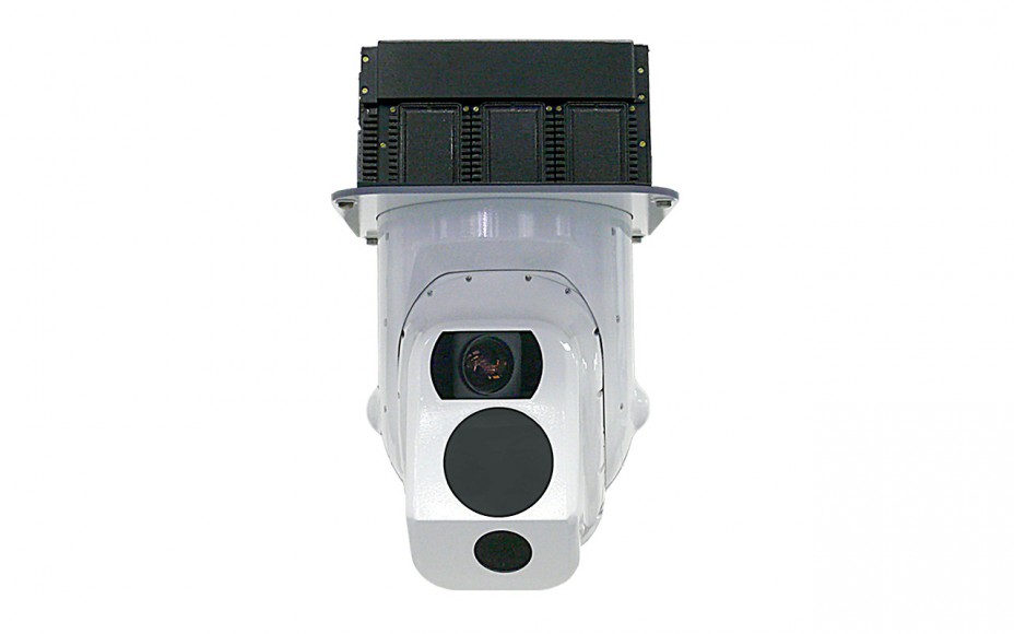
SON-530 optical surveillance system
Supplier: Shvabe
SON-530 optical surveillance system is a full-time optoelectronic system based on a gyrostabilized platform.
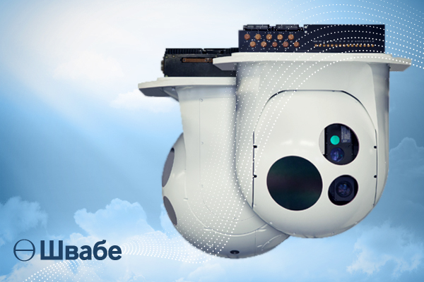
SON-730 optical surveillance system
Supplier: Shvabe
SON-730 optical surveillance system is an aviation full-time optoelectronic system based on a gyrostabilized ball-type platform.
SMS-832 small-sized stabilized optical surveillance system
Supplier: Shvabe
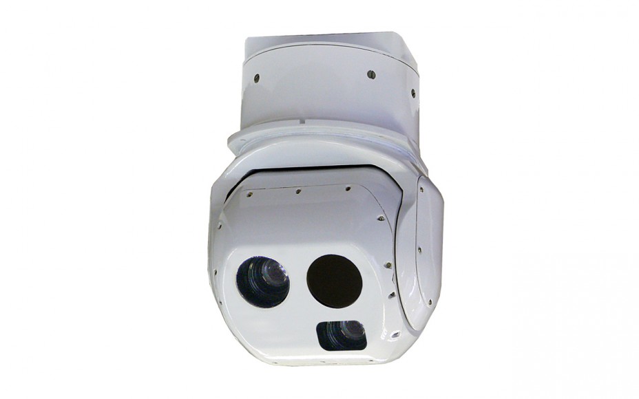
Survey of the terrain and observation of the situation, obtaining detailed images of sites and facilities, detection and recognition of groups of people (including an individual), cars and other technical means.
Supplier: Shvabe
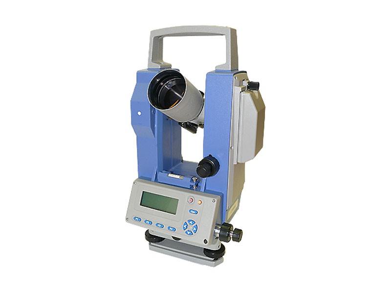
Measurement of horizontal and vertical angles (zenith distances). It is used in the layout of planned and high-altitude surveying networks, geodetic networks of condensation, conducting survey and geodetic works, applied geodesy.
Supplier: Shvabe
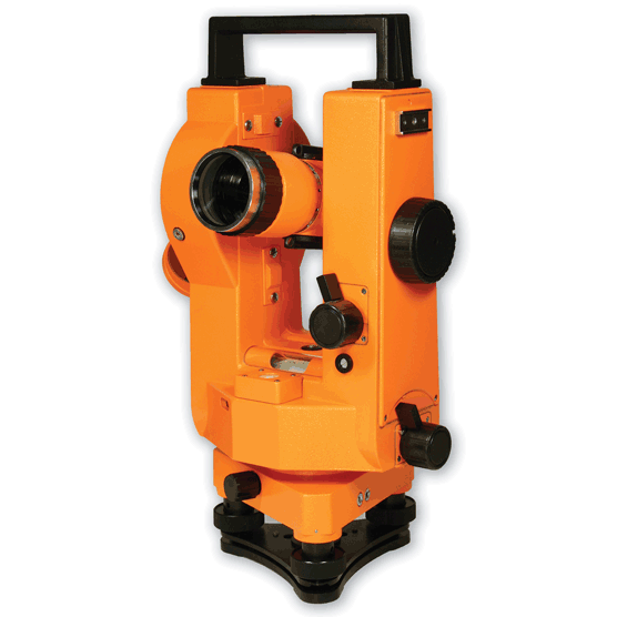
It is designed for measurement of horizontal and vertical angles in the construction of industrial facilities, geodetic survey, astronomical and geodetic measurements. The device can be used for geometric leveling (horizontal beam).
Supplier: Shvabe
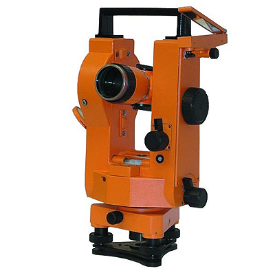
It is designed for measurement of horizontal and vertical angles in the construction of industrial facilities, geodetic survey, astronomical and geodetic measurements. The device can be used for geometric leveling (horizontal beam).
Supplier: Shvabe
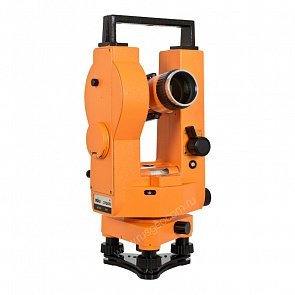
It is designed for measurement of horizontal and vertical angles in the construction of industrial facilities, geodetic survey, astronomical and geodetic measurements. The device can be used for geometric leveling (horizontal beam).
Supplier: Shvabe
.jpg)
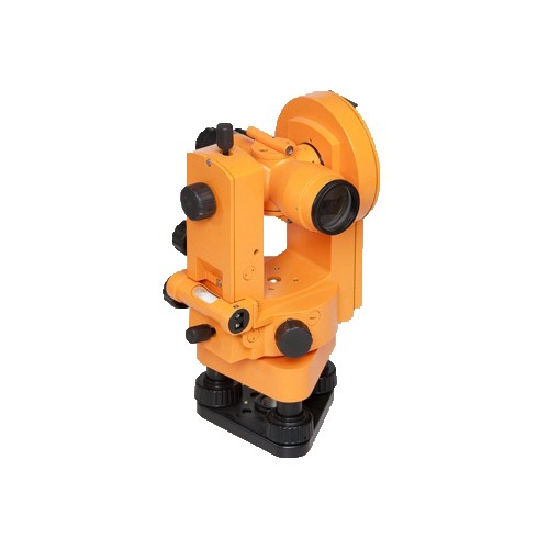
It is designed for measurement of angles in theodolite and tacheometric courses, breakdown of planned and high-altitude surveying networks, leveling by a horizontal ray with the help of a level with a pipe, determination of the compass magnetic azimuths.
4T30P (4T30P-10) optical theodolite
Supplier: Shvabe
It is designed for measuring horizontal and vertical angles and distances by a threaded range finder, for leveling by means of a level, for determining the magnetic azimuths along the compass, allowing to take the count with a scale microscope.