Products
Supplier: Shvabe
.jpg)
It is intended for observation of wildlife and the surrounding area in daytime conditions, as well as for use in the field of geodesy and tourism in determining the coordinates of observed objects.
Supplier: Laser Systems
Mobile lidar complex is designed for environmental monitoring and meteorological parameters analysis.
Supplier: The Ruselectronics holding company
The Topcon ES-105 series of reflectorless technical total tacheometers with five-second angular
accuracy and an expanded set of functionality introduces new standards in the production of
geodetic surveys. From the first measurements you can appreciate all the advantages of this
tacheometer.
Supplier: Shvabe
Measurement of horizontal and vertical angles (zenith distances). It is used in the layout of planned and high-altitude surveying networks, geodetic networks of condensation, conducting survey and geodetic works, applied geodesy.
Supplier: Shvabe
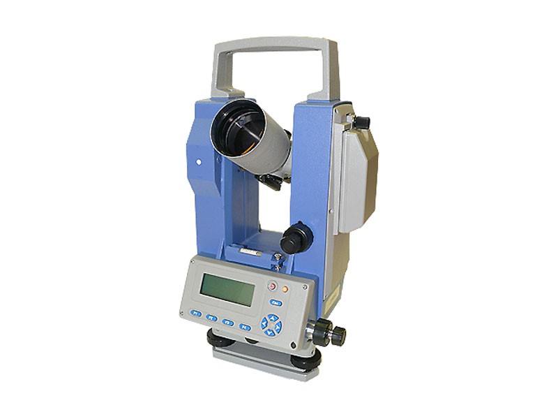
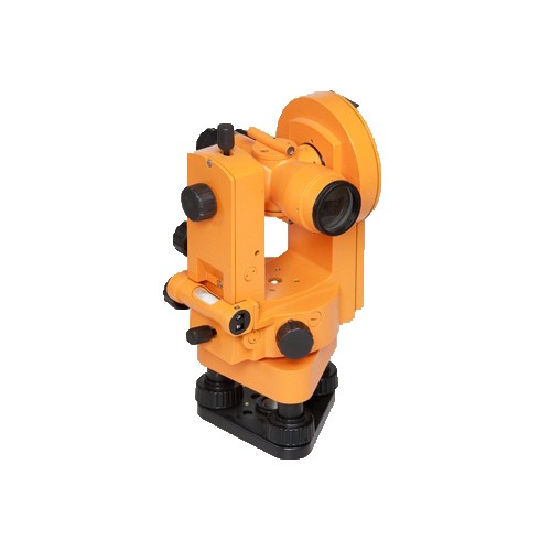
It is designed for measurement of horizontal and vertical angles in the construction of industrial facilities, geodetic survey, astronomical and geodetic measurements. The device can be used for geometric leveling (horizontal beam).
Supplier: Shvabe
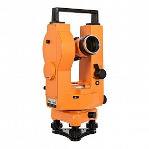
It is designed for measurement of horizontal and vertical angles in the construction of industrial facilities, geodetic survey, astronomical and geodetic measurements. The device can be used for geometric leveling (horizontal beam).
Supplier: Shvabe
It is designed for measurement of horizontal and vertical angles in the construction of industrial facilities, geodetic survey, astronomical and geodetic measurements. The device can be used for geometric leveling (horizontal beam).
Supplier: Shvabe
.jpg)
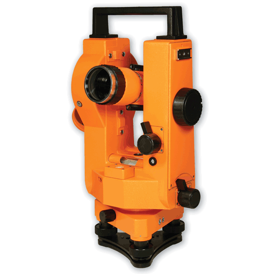
It is designed for measurement of angles in theodolite and tacheometric courses, breakdown of planned and high-altitude surveying networks, leveling by a horizontal ray with the help of a level with a pipe, determination of the compass magnetic azimuths.
4T30P (4T30P-10) optical theodolite
Supplier: Shvabe
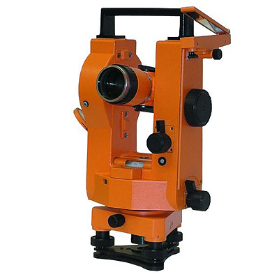
It is designed for measuring horizontal and vertical angles and distances by a threaded range finder, for leveling by means of a level, for determining the magnetic azimuths along the compass, allowing to take the count with a scale microscope.
MR-8 geodesic satellite multi-frequency equipment
Supplier: Shvabe
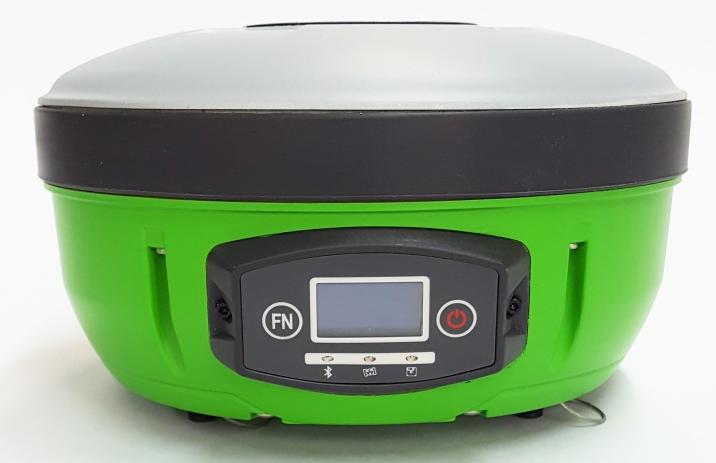
The multi frequency satellite geodetic equipment МР-8 is intended for surveying research, supervision of building process, high accuracy positioning during creation and development of reference geodetic networks and also for the purposes of cadastre, land management, agriculture, geophysics. It is monitored with the help of a P-6 controller that is connected by interface cable or via Bluetooth and also with the help of external Android device with special software eSurvey.